Working for Victoria - Mapping the Moonee Ponds Creek Trail
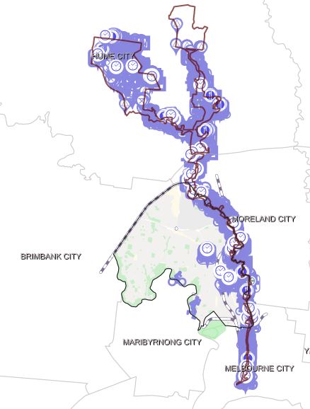
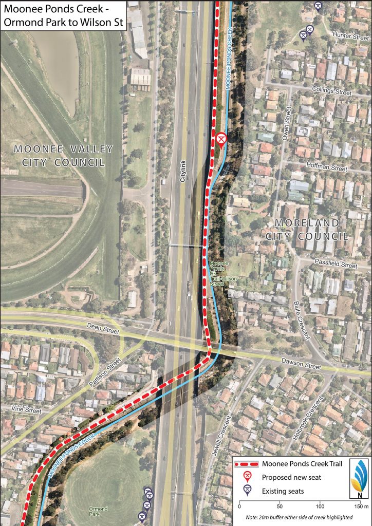
The Mapping the Moonee Ponds Creek Trail project aims to map the many different assets along the Creek.
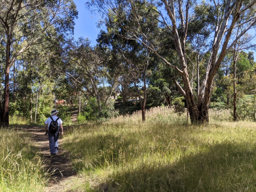
Recently, a mapping team staff employed by Moonee Valley City Council through the Working for Victoria program spent five days walking in one kilometre increments along the various pathed and informal tracks of the Moonee Ponds Creek Trail. In total, the team mapped and catalogued over 2300+ different assets along the Creek.
The data can now be utilised to identify and prioritise infrastructure needs, allocate funding, support open space planning, and increase connectivity and access points along the Moonee Ponds Creek.
The team behind the initiative hopes this will be taken up by the Collaboration Group and further developed e.g. interactive website, data verification, collection of new data and linking photos to the existing data set.
Congratulations to everyone who was involved in this exciting and incredibly valuable project. If you’d like to access the mapping tool, please get in touch with Rachel, Chain of Ponds Collaboration Lead.


